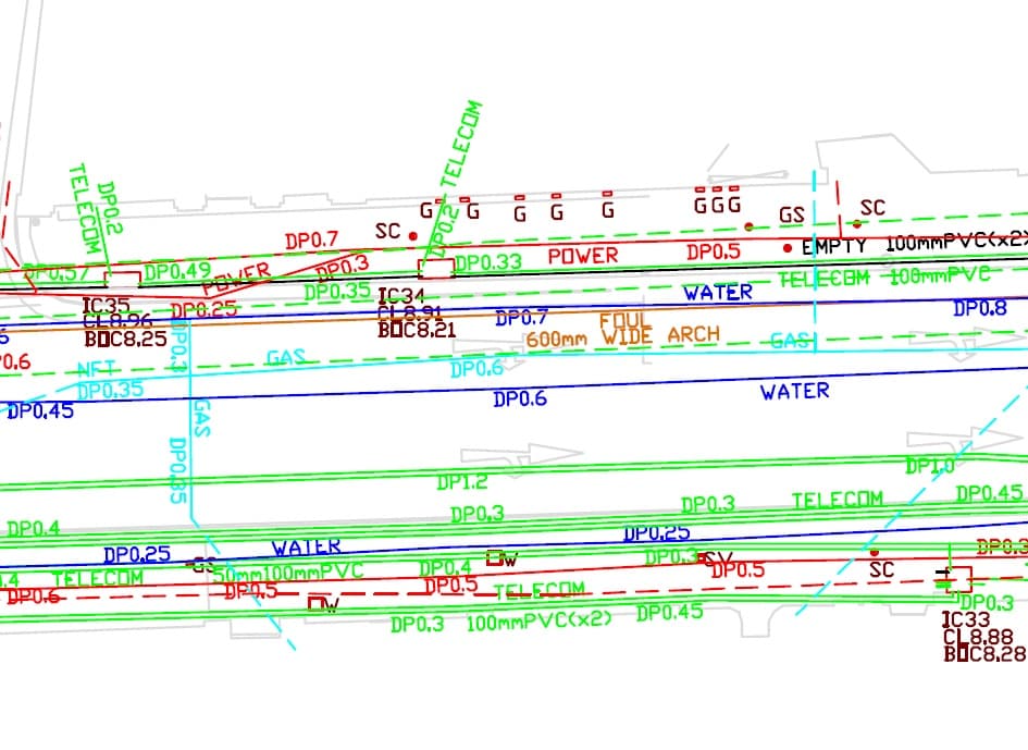
Underground Utility Surveying is the process of mapping subsurface utilities using a combination of geophysical and land surveying techniques.
What Apex can do for you
We were one of the first survey companies in Ireland to offer underground utility surveys and are considered experts in the field.
We use a wide range of cutting edge technology such as Ground Penetration Radar (GPR), Radiodetection and many other in-house processes and procedures to ensure we provide you with the most accurate and reliable underground utility information possible for your project without the need for costly excavations.
This information can be provided on site using site markup techniques or delivered in hard copy or 2D/3D digital formats with comprehensive reporting.
TSA Standards and PAS:128
All our surveys are carried out using the most advanced technology and by incorporating industry standards such as Essential Guide to Utility Surveying published by The Survey Association.
Further to this our utility survey division have adopted PAS:128 Specification for underground utility detection, verification and location to all our works to ensure we can provide you with confidence, accountability and consistency in the results.
Below is a brief overview of the survey categories included in PAS:128. Be sure to ask us which category best fits your needs:
PAS:128 Survey Type A - Verification
Utilities are surveyed using direct measurement techniques at locations where utilities are exposed, at inspection chambers or by exposing utilities using excavation techniques.
PAS:128 Survey Type B – Detection (Most Popular)
This is our most popular PAS:128 category. Utilities are detected, traced and mapped using one or more geophysical techniques.
PAS:128 Survey Type C (Reconnaissance)
Site reconnaissance survey to validate available utility records and to assess if there are any conflicts that need to be resolved.
PAS:128 Survey Type D (desktop Utility Records Search)
Underground Utility records plotted to drawing utilising record data which is gathered from utility providers and owners.
What we can deliver
- 2D and 3D CAD drawings
- Drawings in PDF format
- Technical Report
- Intelligent utility and MEP Models in BIM format
- Site markup
- Sub surface cross sections
- A4, A3, A2, A1 and A0 plots
How we can help
We are extremely knowledgeable in all aspects of subsurface utility mapping and would be delighted to assist with your project.
Please call 01-6910156 or email info@apexsurveys.ie and one of our experienced team will provide a free consultation and/or quotation which fits your needs.